
THE MAP AND THE TERRITORY
[BEFORE AND AFTER THE BELLMAN]
2023
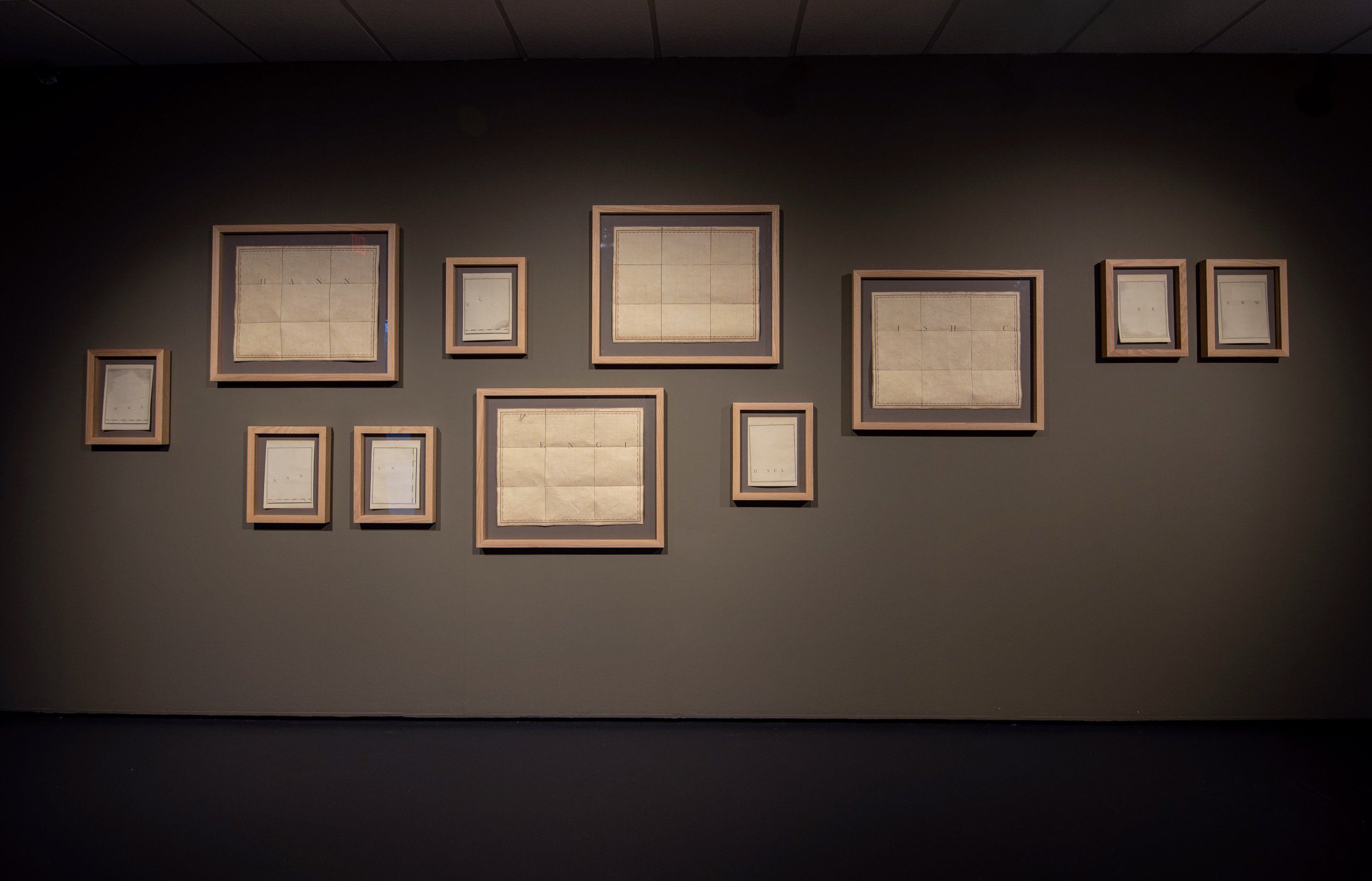
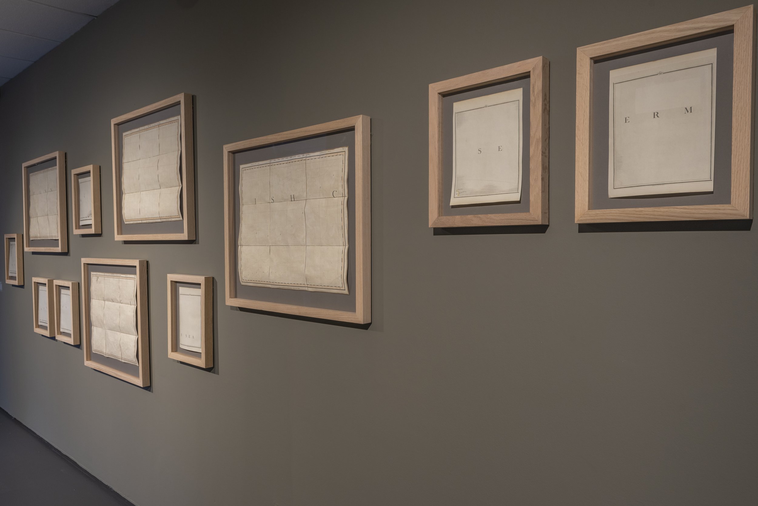
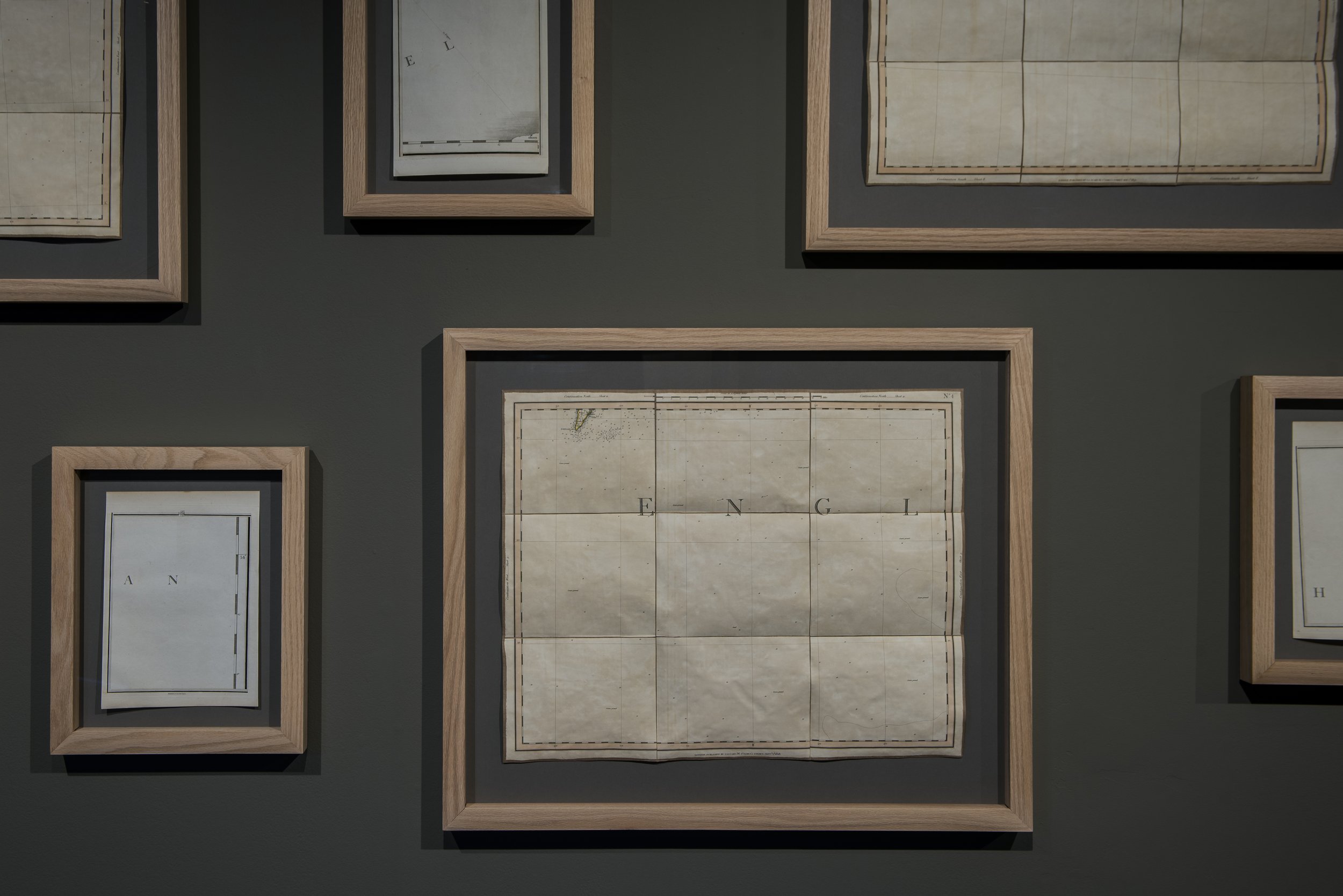
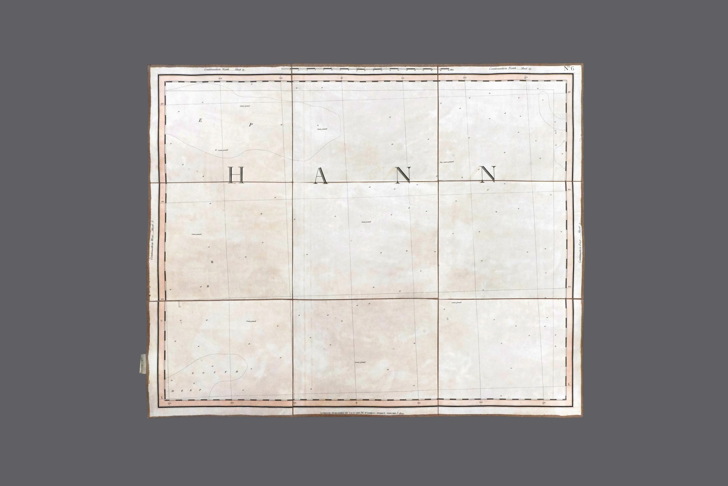
FOUND 18th and 19th CENTURY MAPS
DIMENSIONS VARIABLE
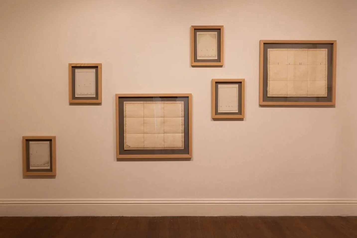
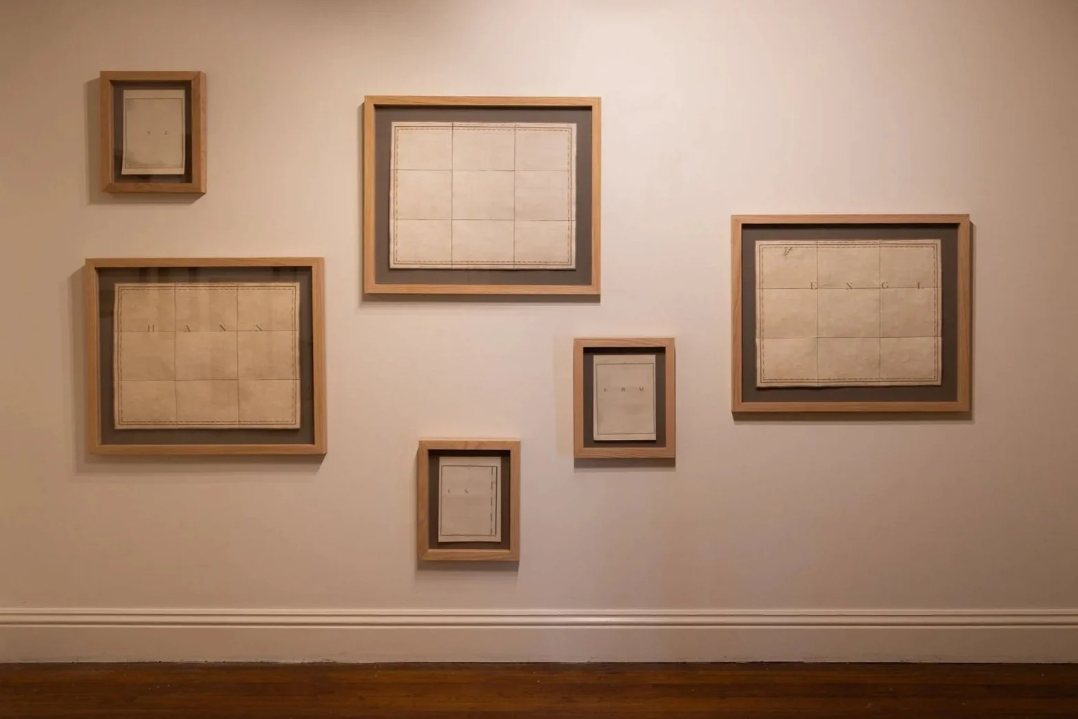
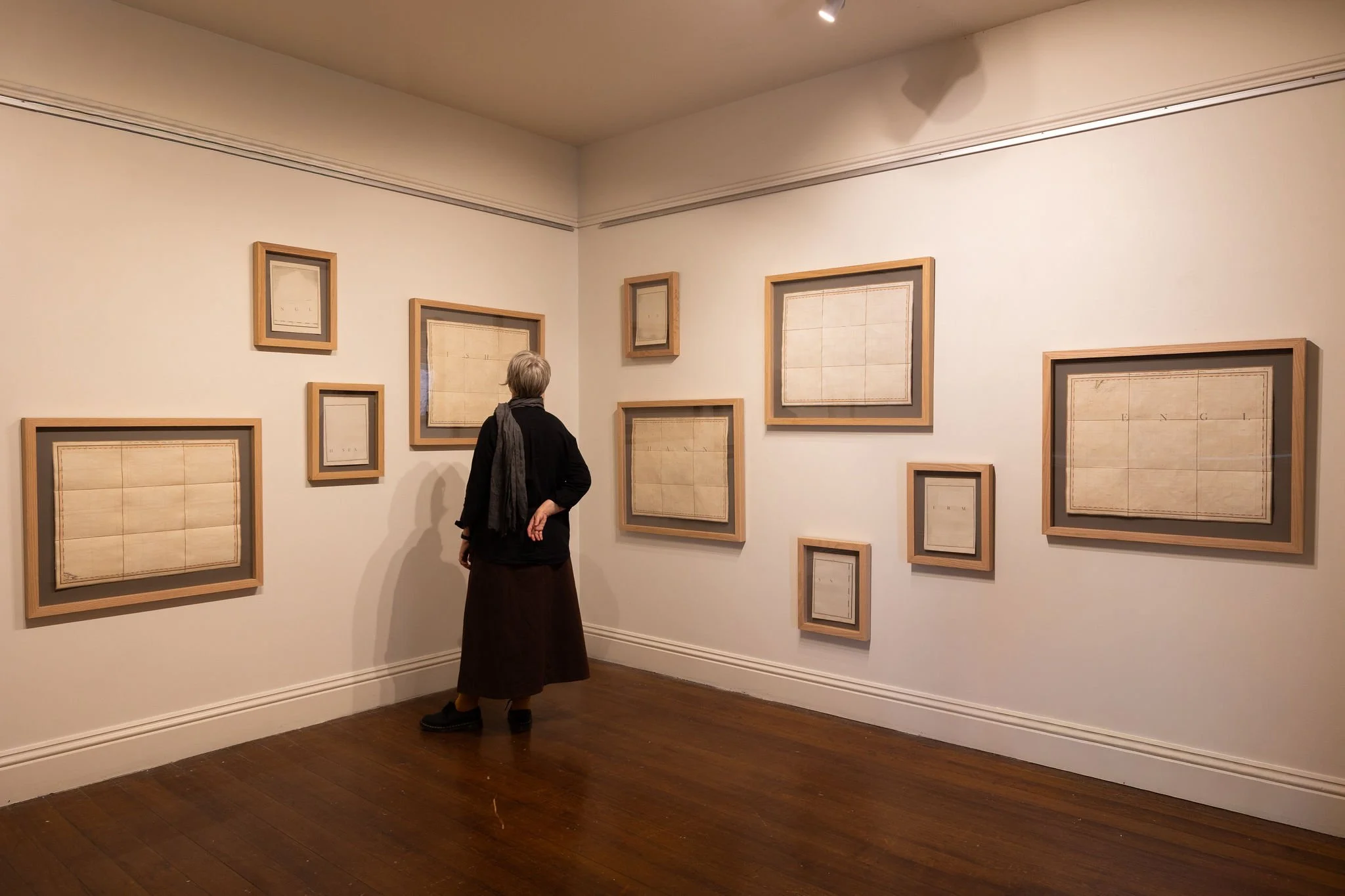
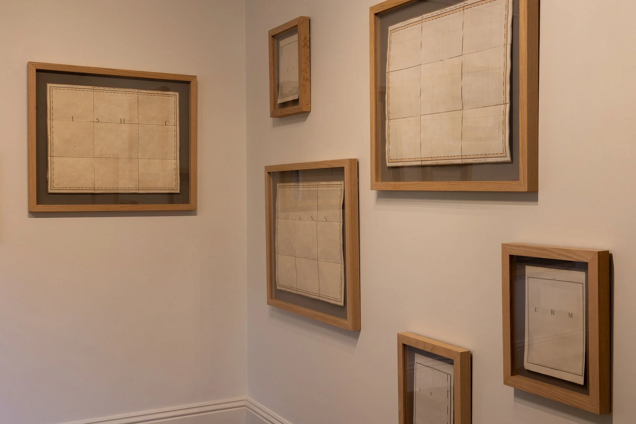
John Cary (1755-1835) was a British cartographer, engraver, globe maker & publisher. Known for his clean engraving and distinct style, his work quickly became an industry standard that ultimately influenced the entire field of map production.
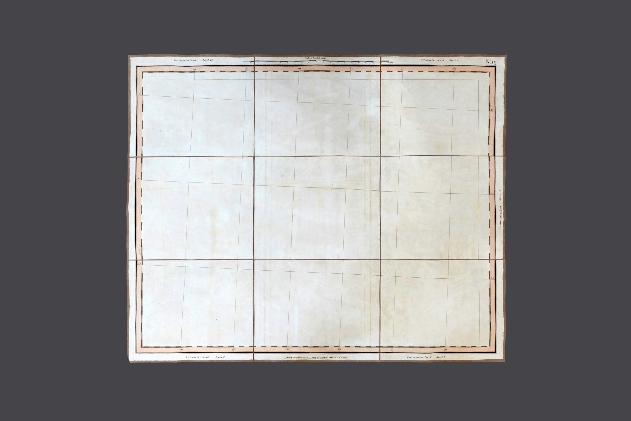
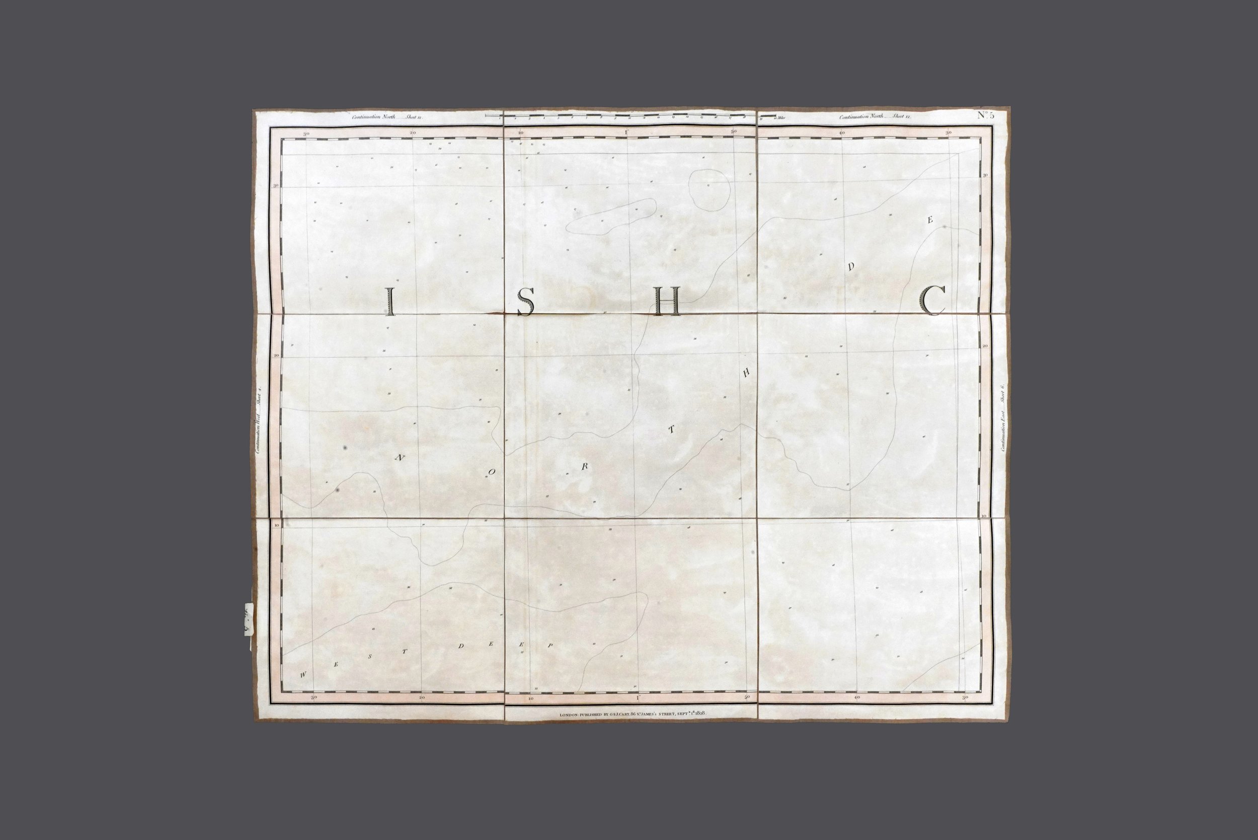
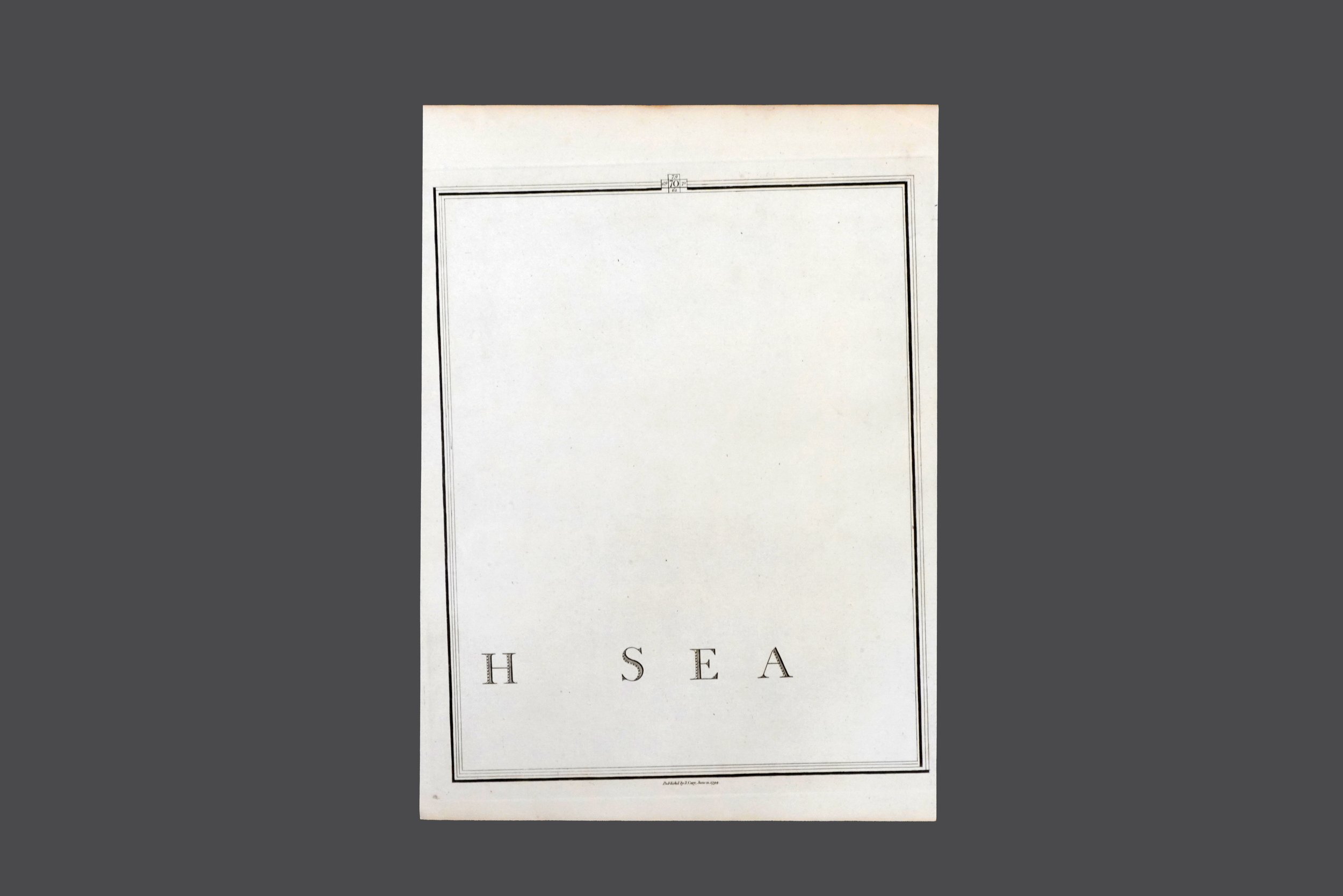
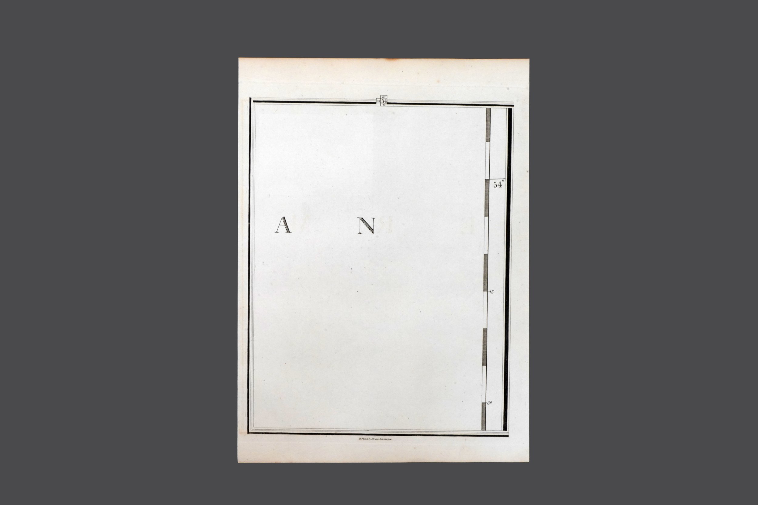
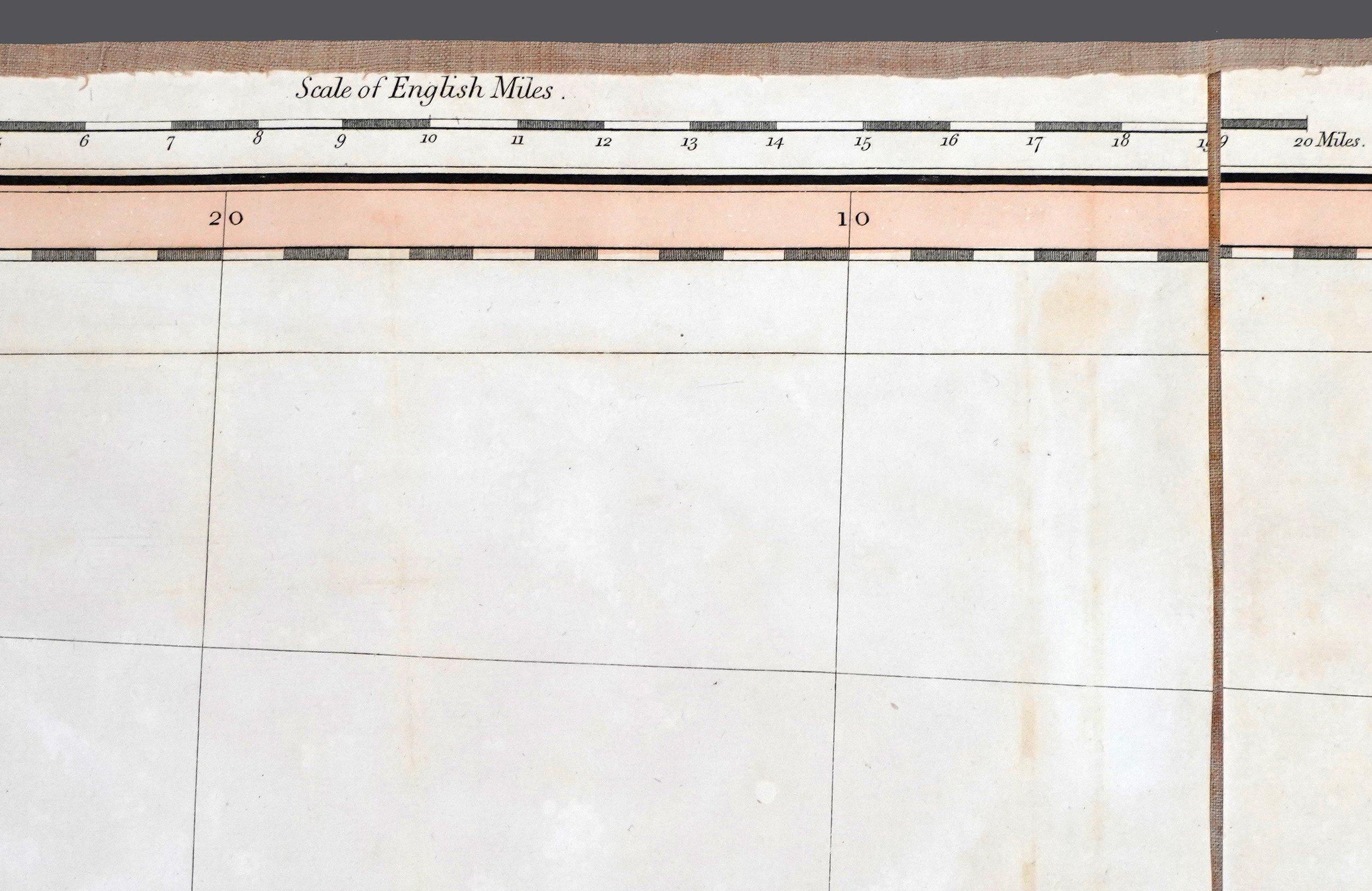
In 1786 and 1832 Cary produced two highly detailed sectional maps of England and Wales — which were considered the most accurate maps of the period. In his effort to define the land mass of Britain Cary’s sectional maps also detailed the ocean that surrounded it — producing ‘maps’ of the English Channel and North Sea as part of the broader compendium.
This demarcation of ‘empty’ ocean was an absurd yet conceptual gesture — one that loaded these spaces with political, economic and colonial capital — requisitioning oceanic space and asserting the claims of empire.
The amassed collection of found maps depicting ‘empty’ (or near ‘empty’) ocean are collectively titled The Map and the Territory (Before and After the Bellamen) underscores the troubling implications of representing (and thus occupying) space while acknowledging the cultural significance of such entities in literature – famously rendered as the Bellman’s Map in Lewis Carroll’s The Hunting of the Snark (which incidentally was published more than 50 years after Cary’s maps were first printed) and by Art & Language as a conceptual endeavour in the late 1960s.
More can be read about this work in Macushla Robinson’s exhibition essay The Map and the Territory.